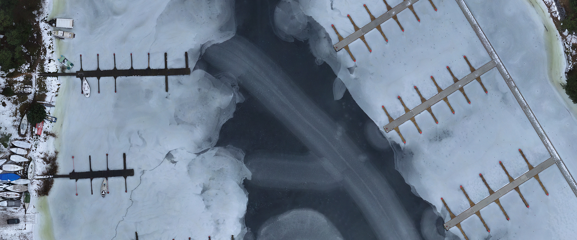
Orthophoto

We offer high resolution orthophotos or metric images. Images can be created with a resolution of up to 1mm pixel size. Depending on the task, photos can be created using standard photogrammetry methods, generated directly from 3D laser scanner data, or a combination of both methods.
Orthophotos are mostly used in archaeology, cultural heritage objects or geodesy and cartography (orthophotographic maps). However, they can also be applied in many other areas: